We are on the market since June the 1st, 2006.
Since the very beginning our company is undertaking contracts connected with land surveying and Land Information Systems. We work for private contractors as well as companies and governmental institutions both in Poland and abroad.

Offer

Our company provides the following services

  •   Real estate subdivisions, resumptions and delimitations
  •   Maps for architectural and planning purposes
  •   3D scanning - construction measurement and digital compilation of 3D maps for project purposes
  •   Construction site surveying
  •   Post-completion inventory surveys
  •   Displacement and deformation measurement
  •   Earthy mass volume calculation
  •   GPS measurement
  •   LIS compilations and thematic maps compilations
  •   Comprehensive modernization of land, buildings and premises registration
  •   Other geodesic surveys and cartographic compilations as needed
  •   Surveys with the creation of a digital map and creation of utility network map registry with the use of confidential offices
  •   Maps for architectural means for investments on military terrain with the use of confidential offices

Experience

Geodezyjna obsługa inwestycji

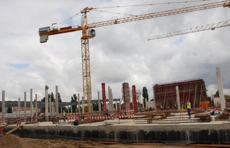
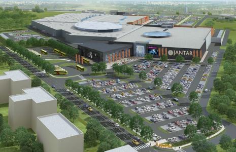
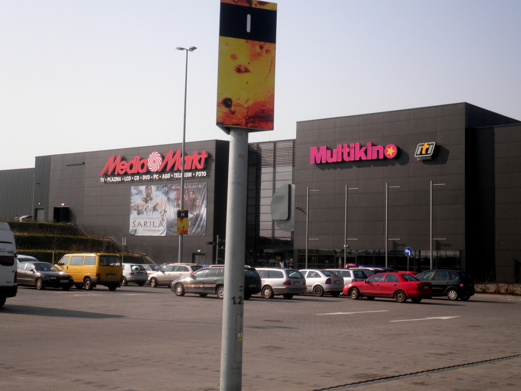
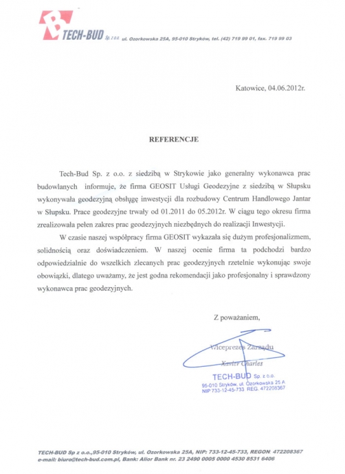
Comprehensive construction site surveying for the expansion of Jantar shopping center in Słupsk

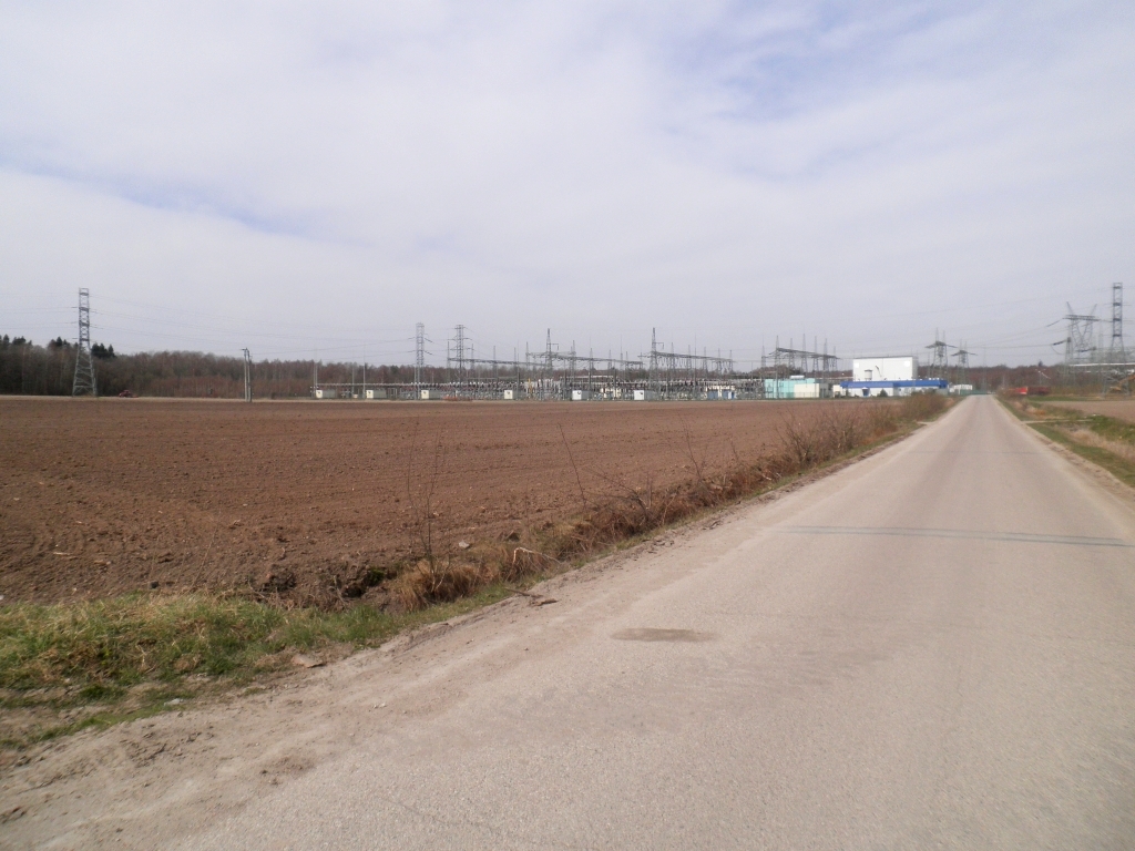
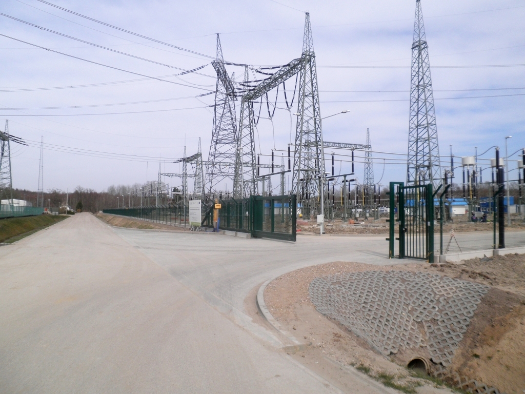
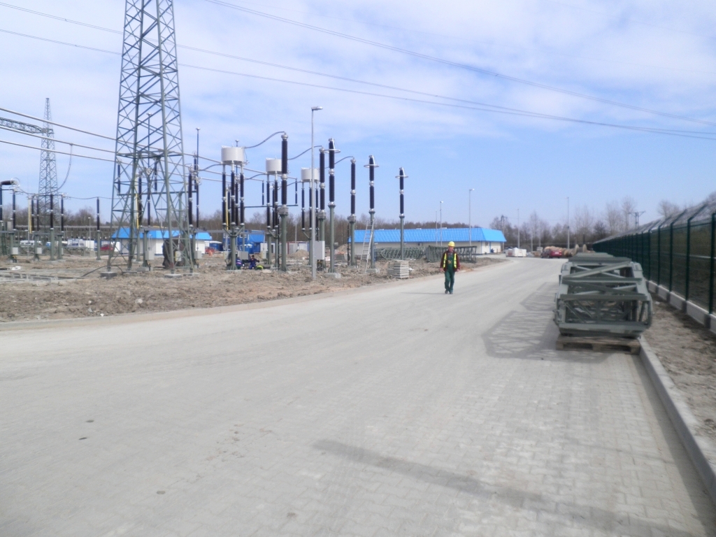
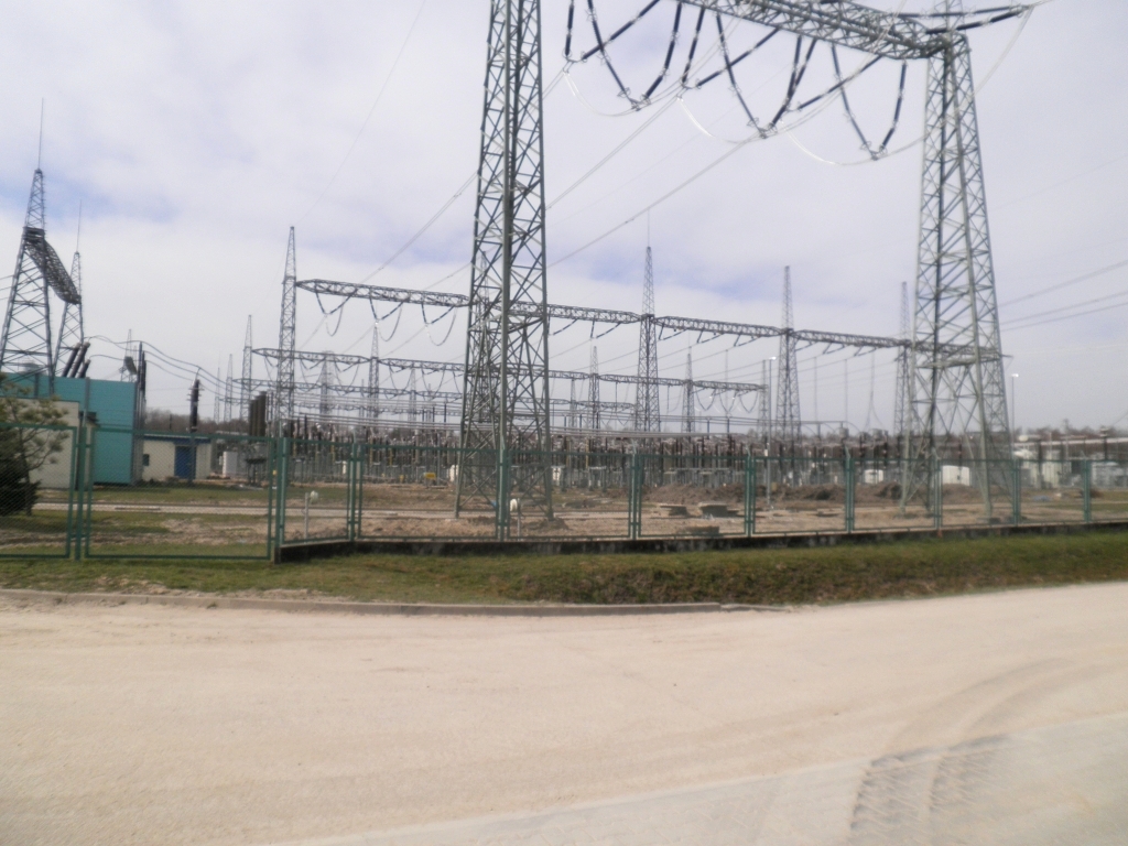
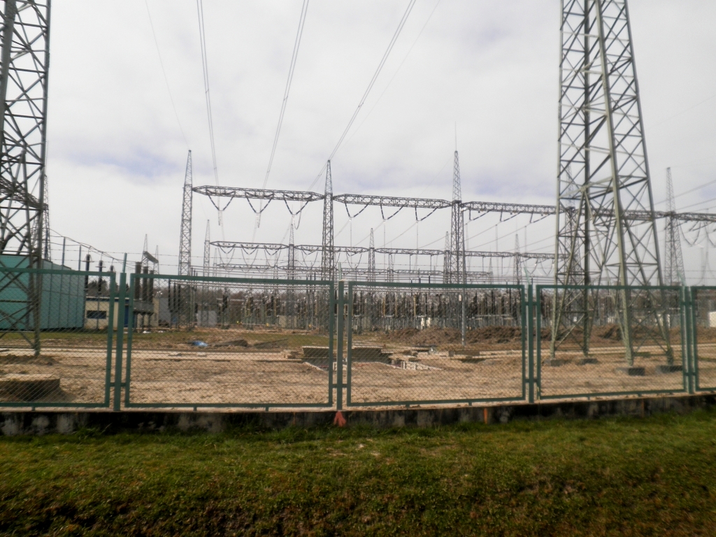
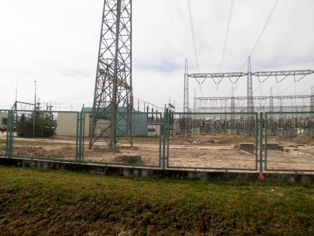
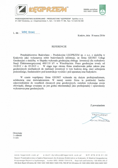
Construction site surveying for the expansion of the electrical substation in Wierzbięcino

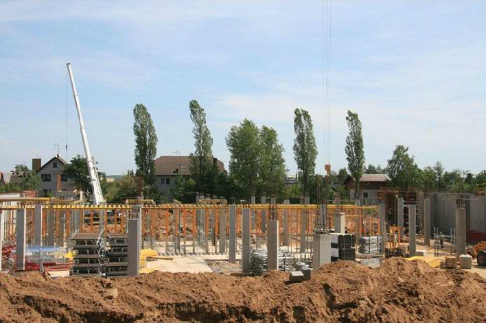
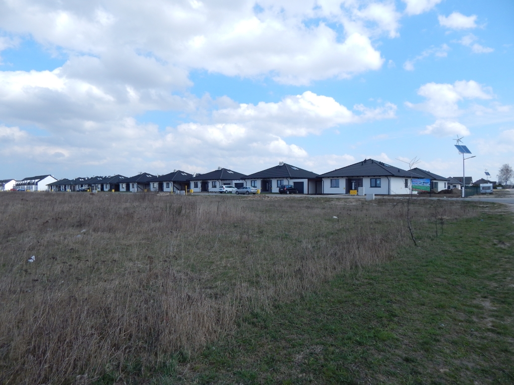
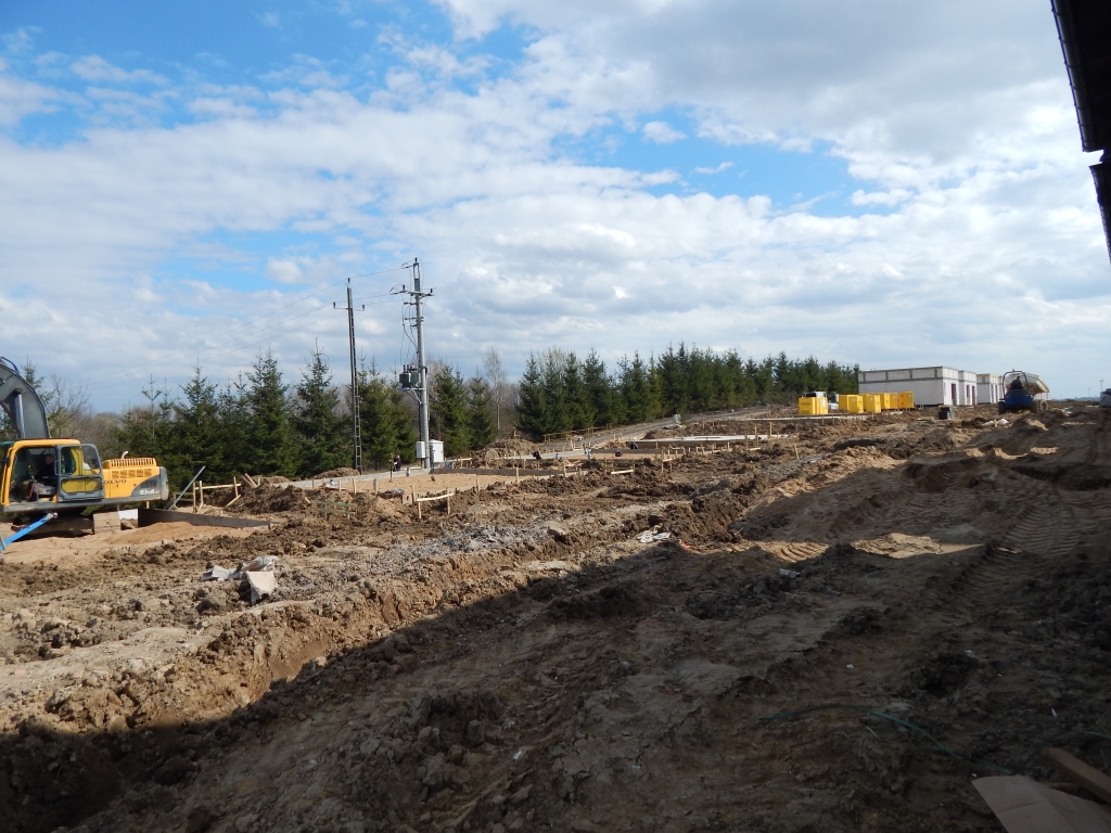
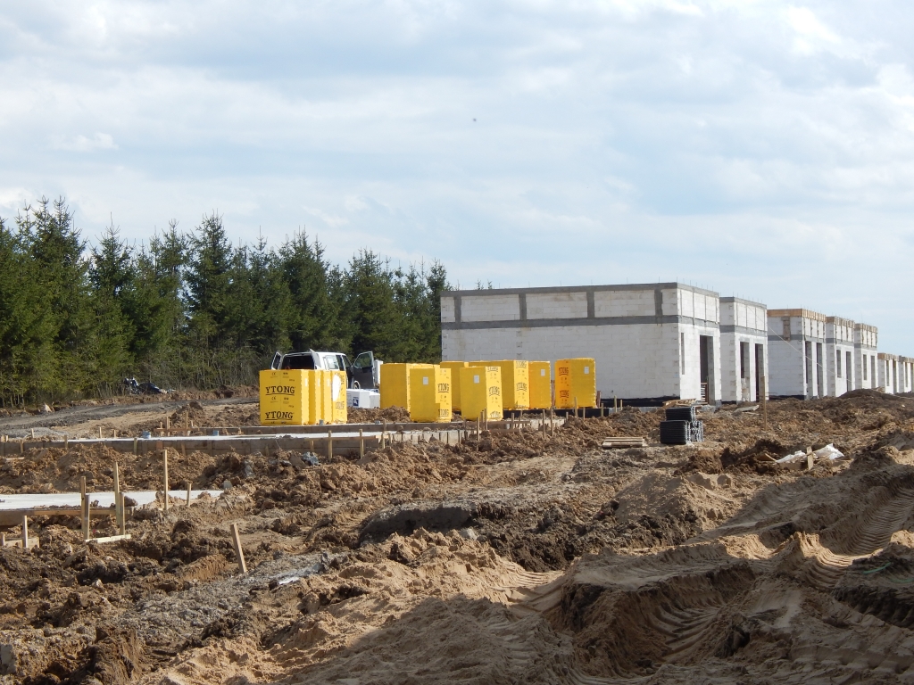
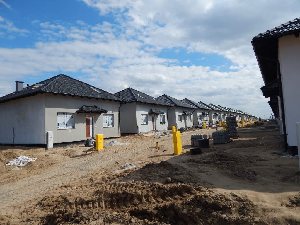
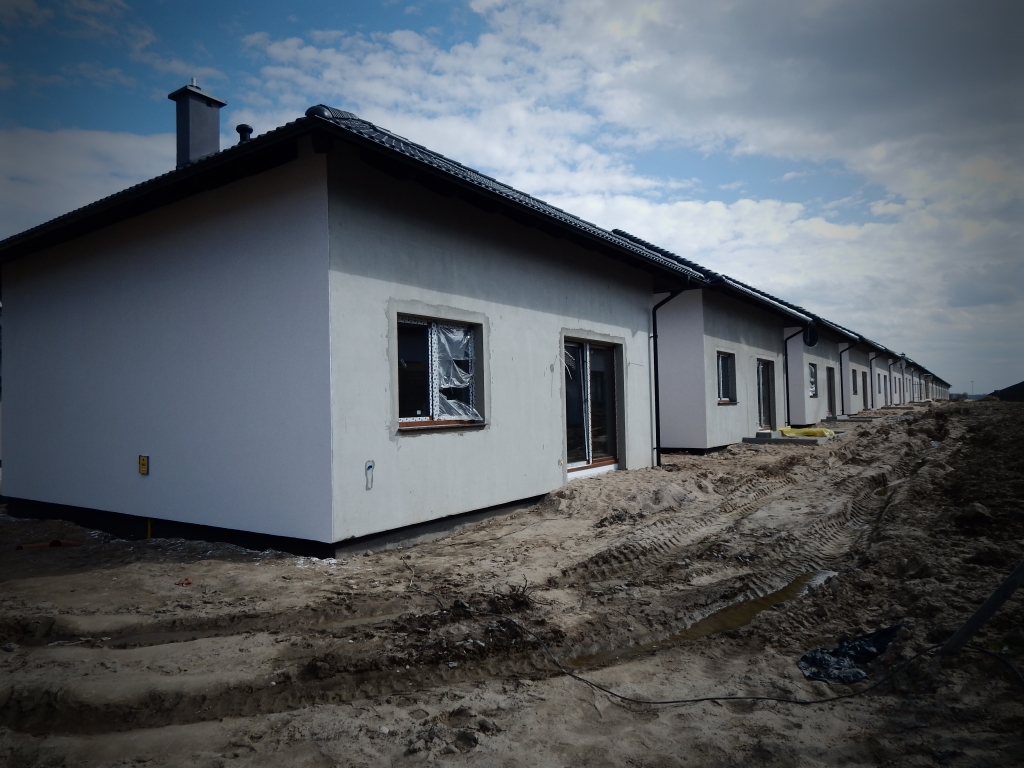
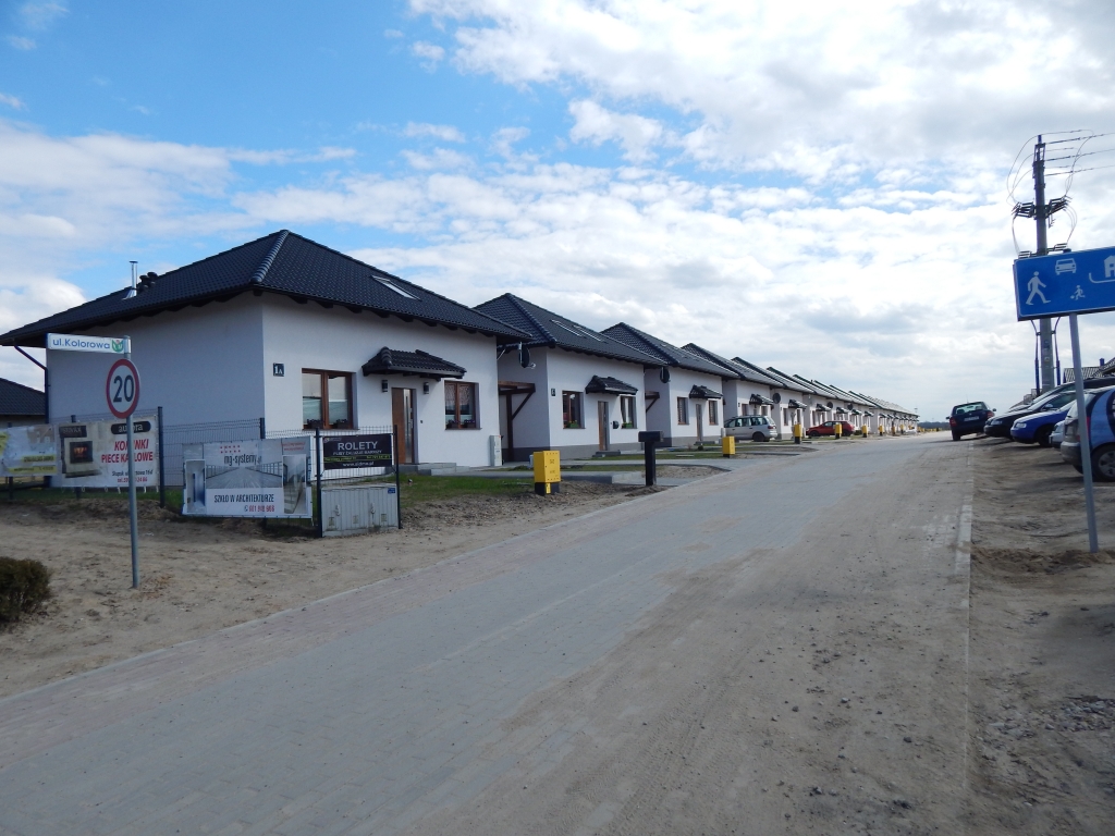
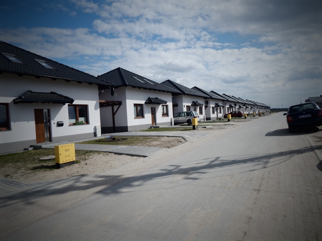
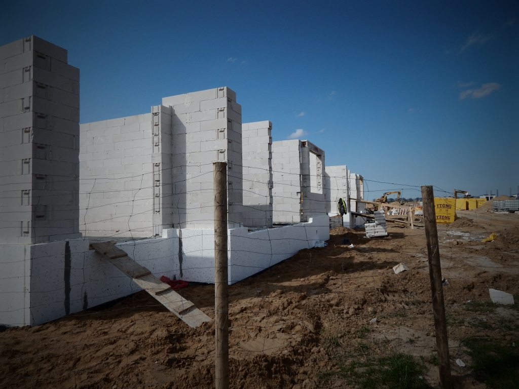
Comprehensive construction site surveying for a single-family houses district Eko-Park in Siemianice

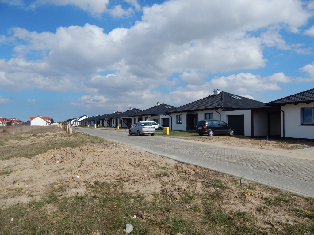
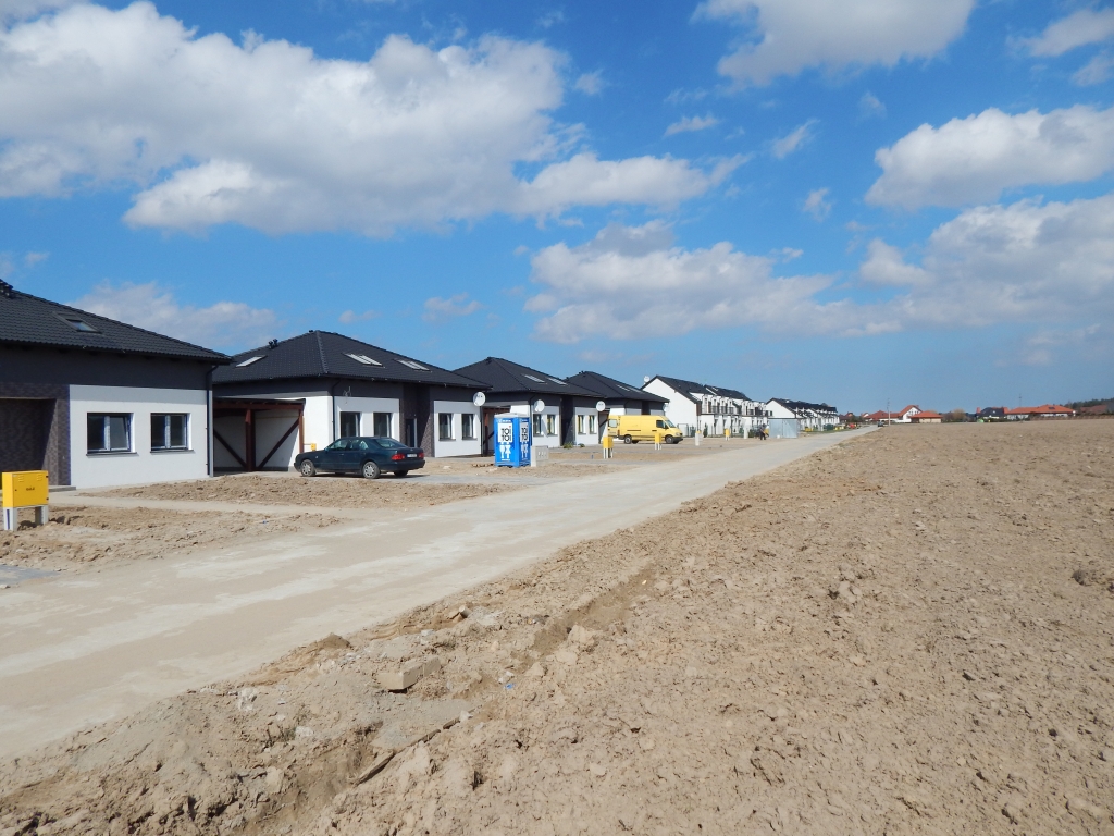
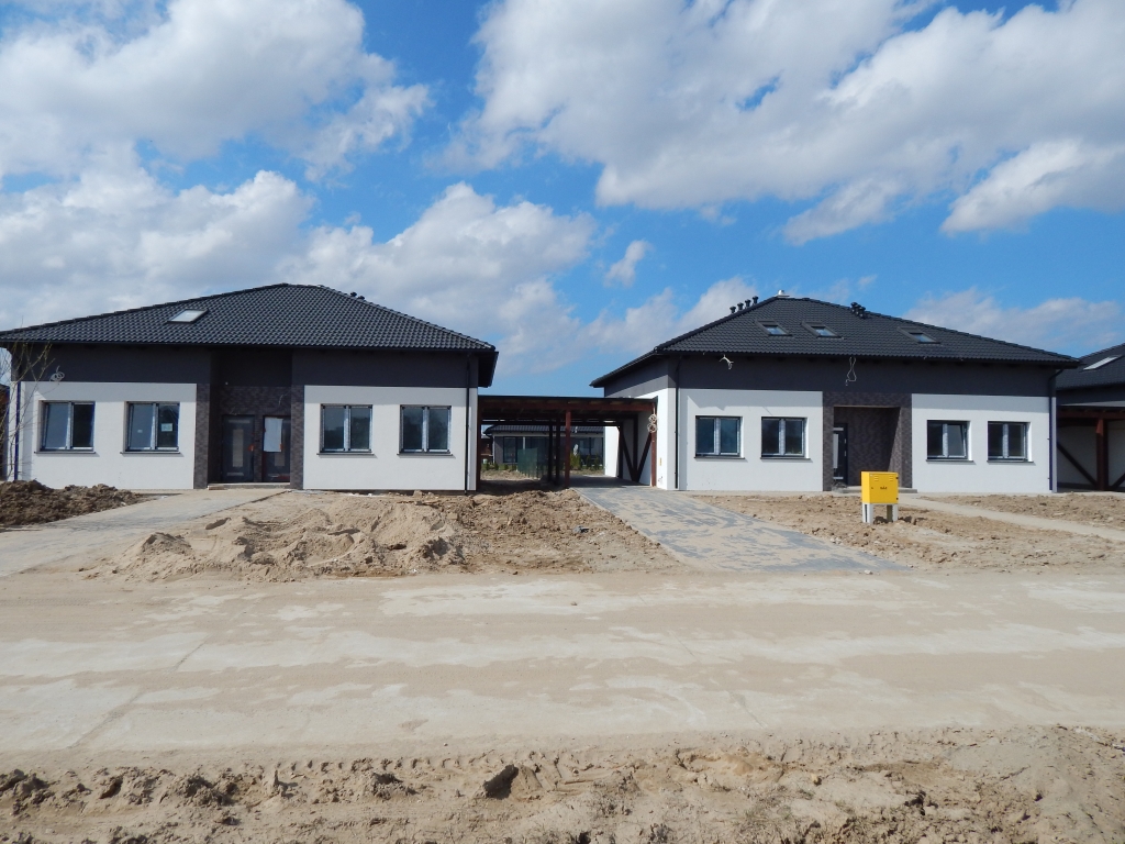
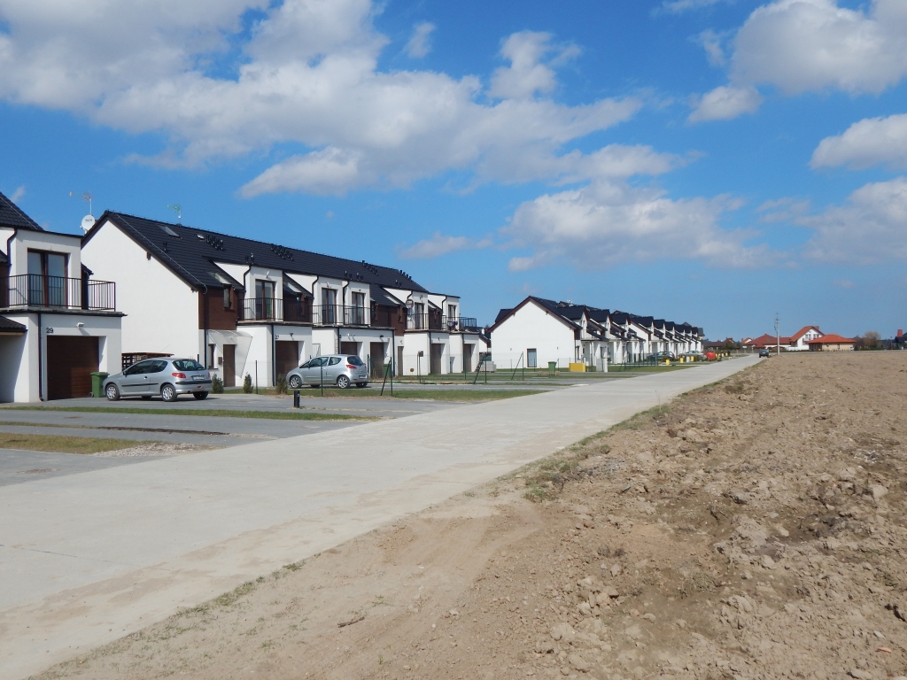
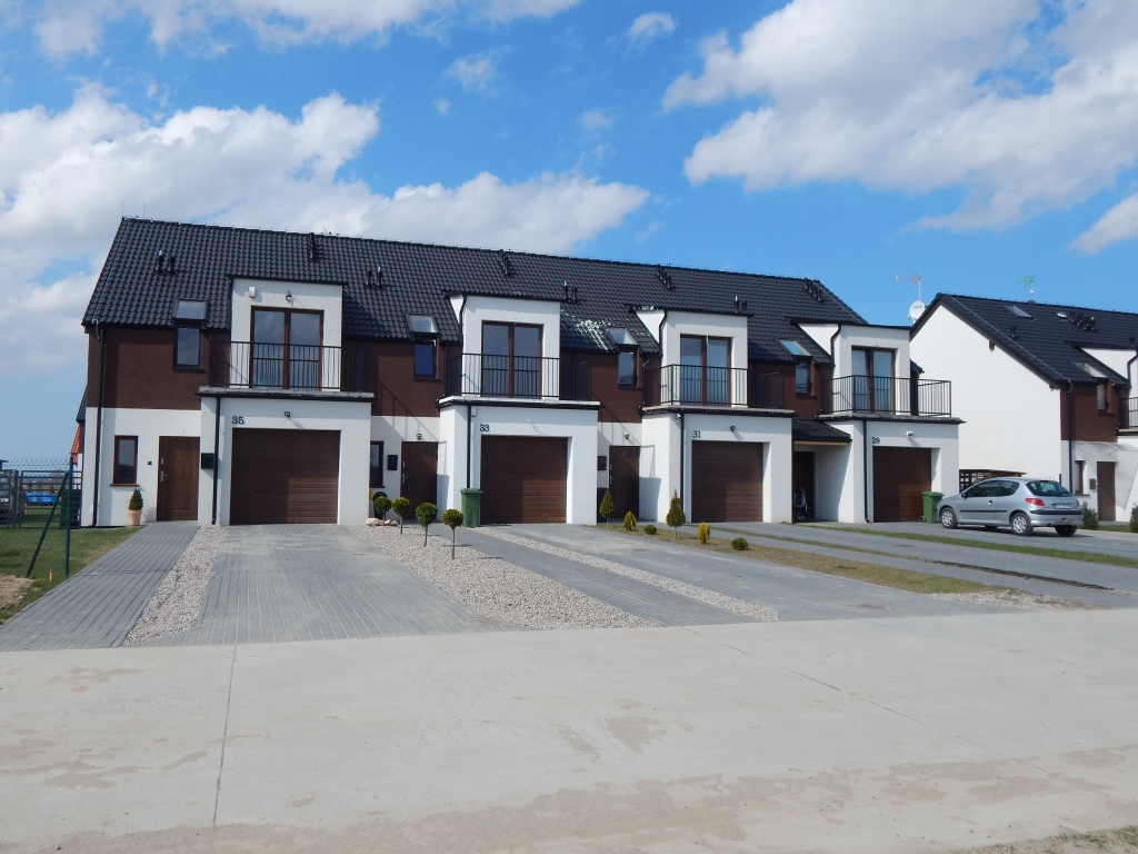
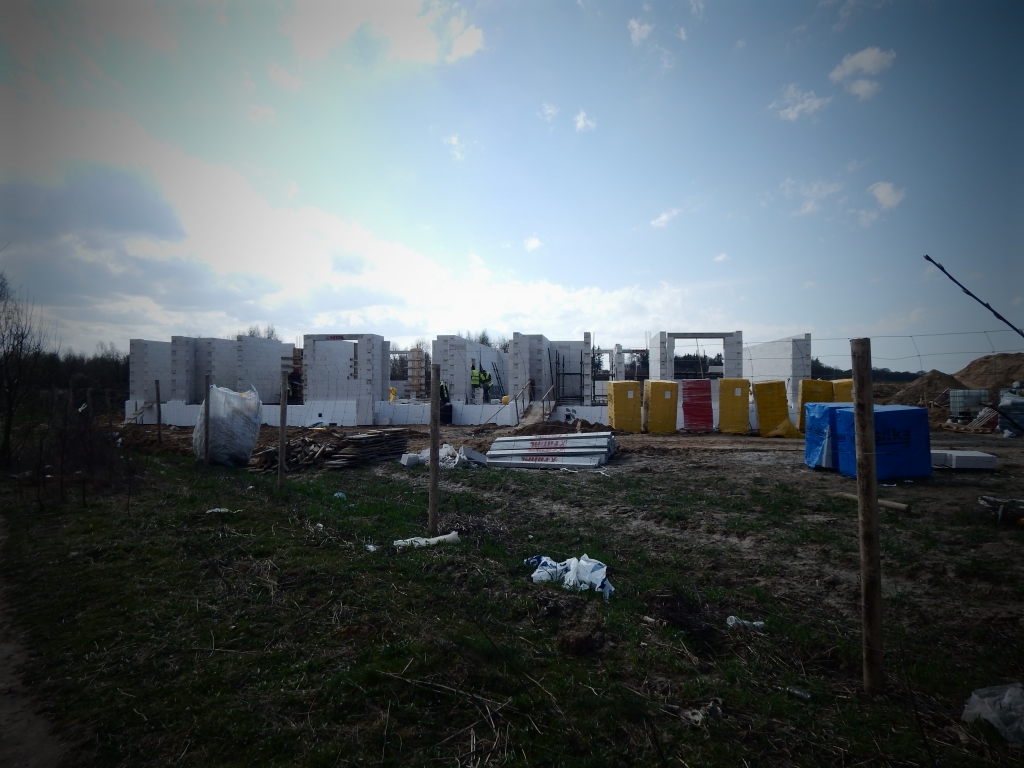
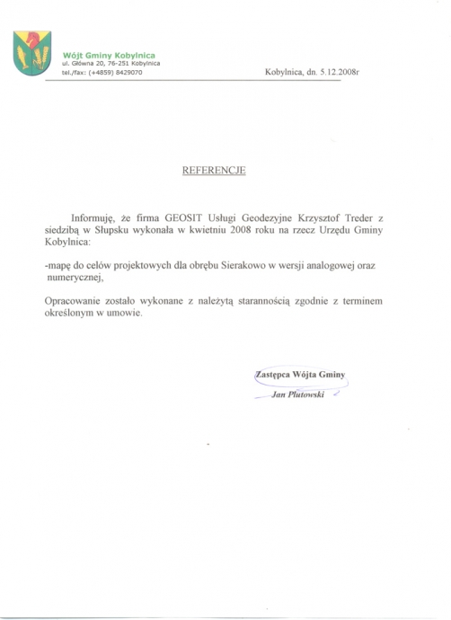
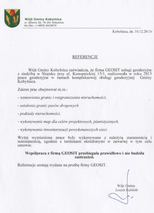
Comprehensive construction site surveying for a single-family houses district Słoneczna Oaza in Kobylnica

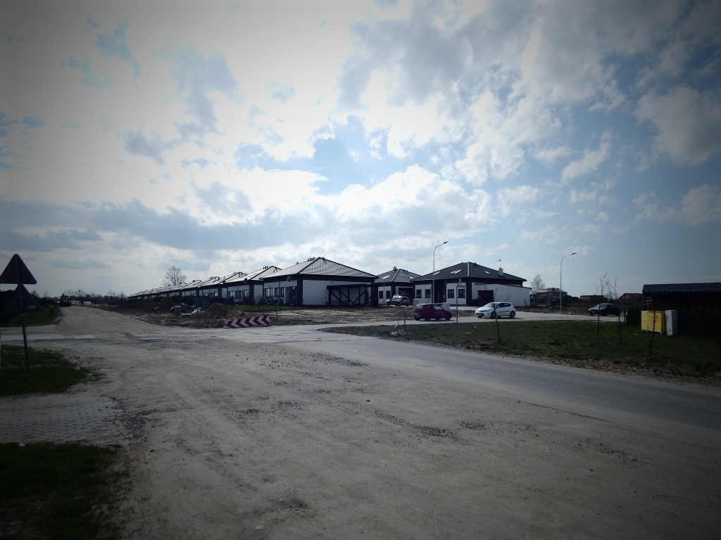
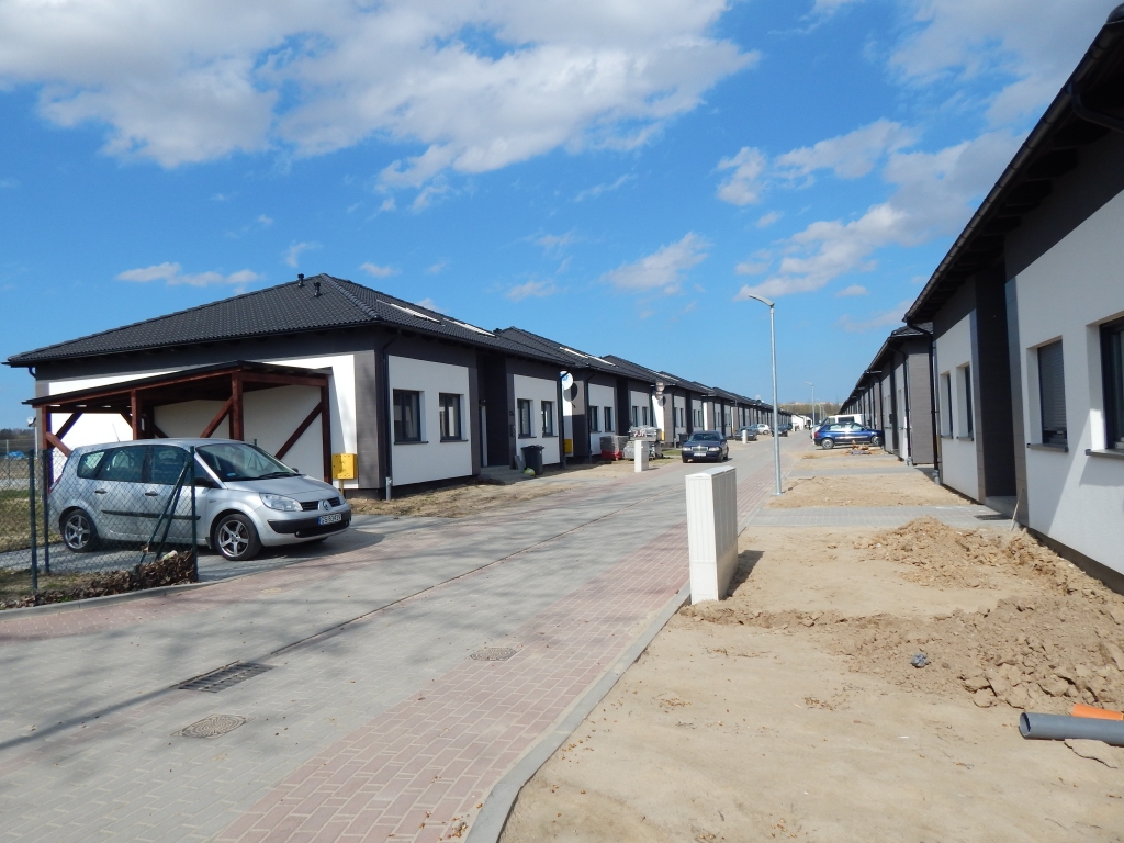
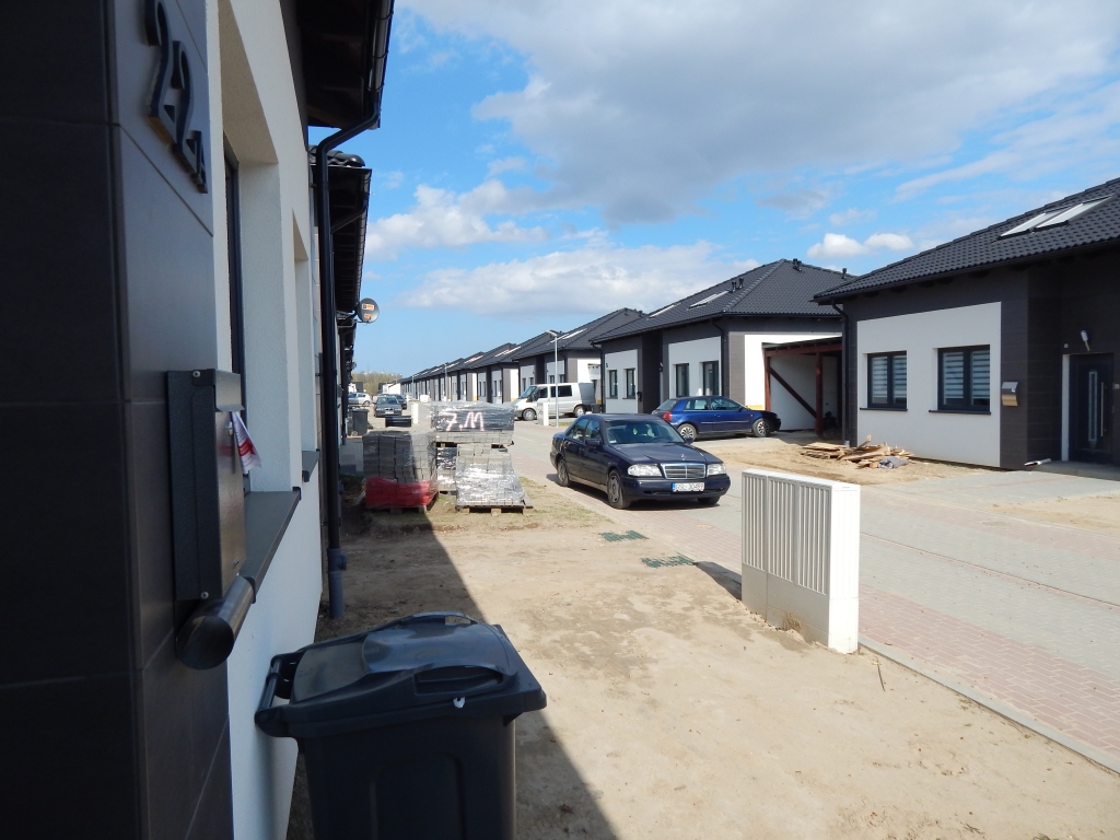
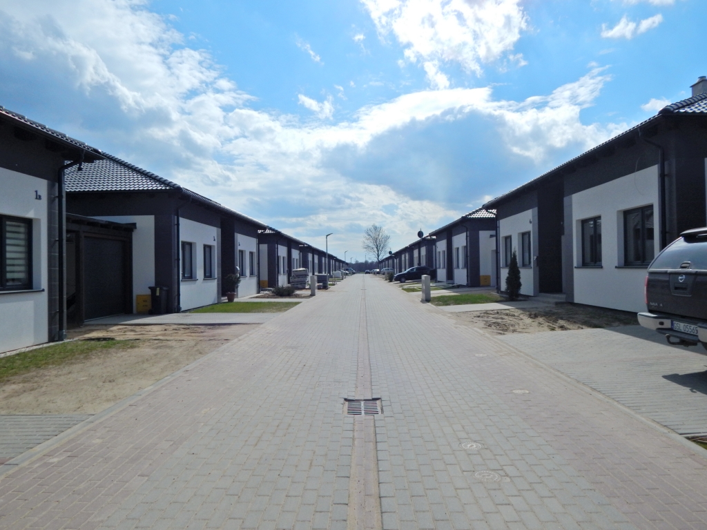
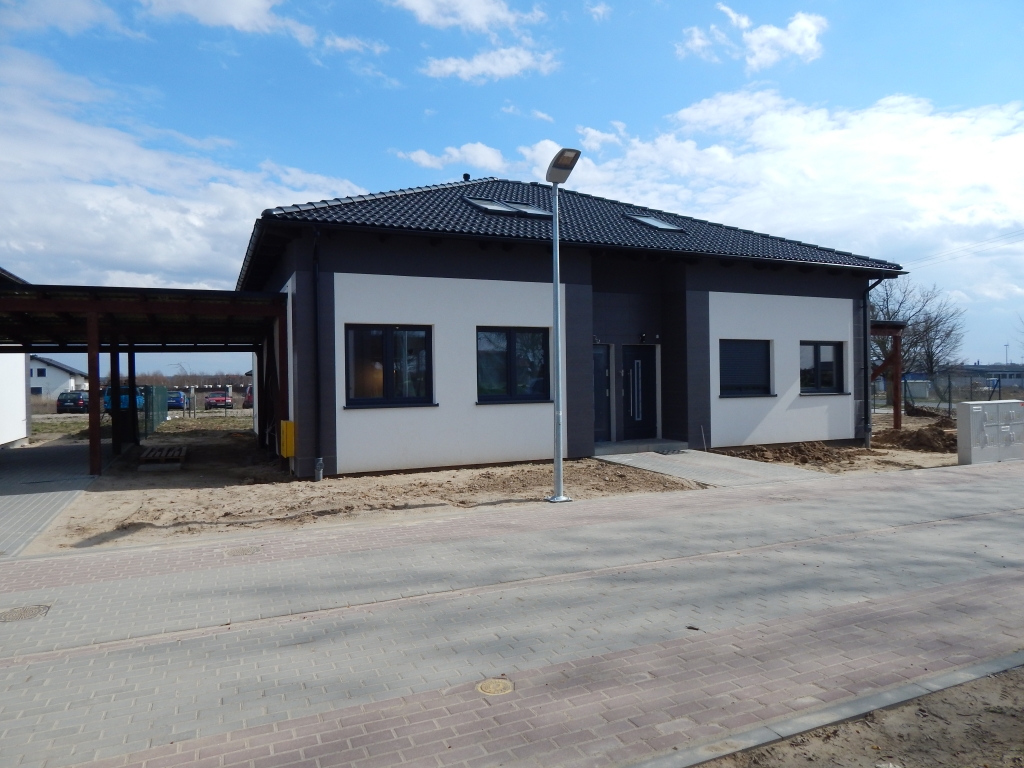
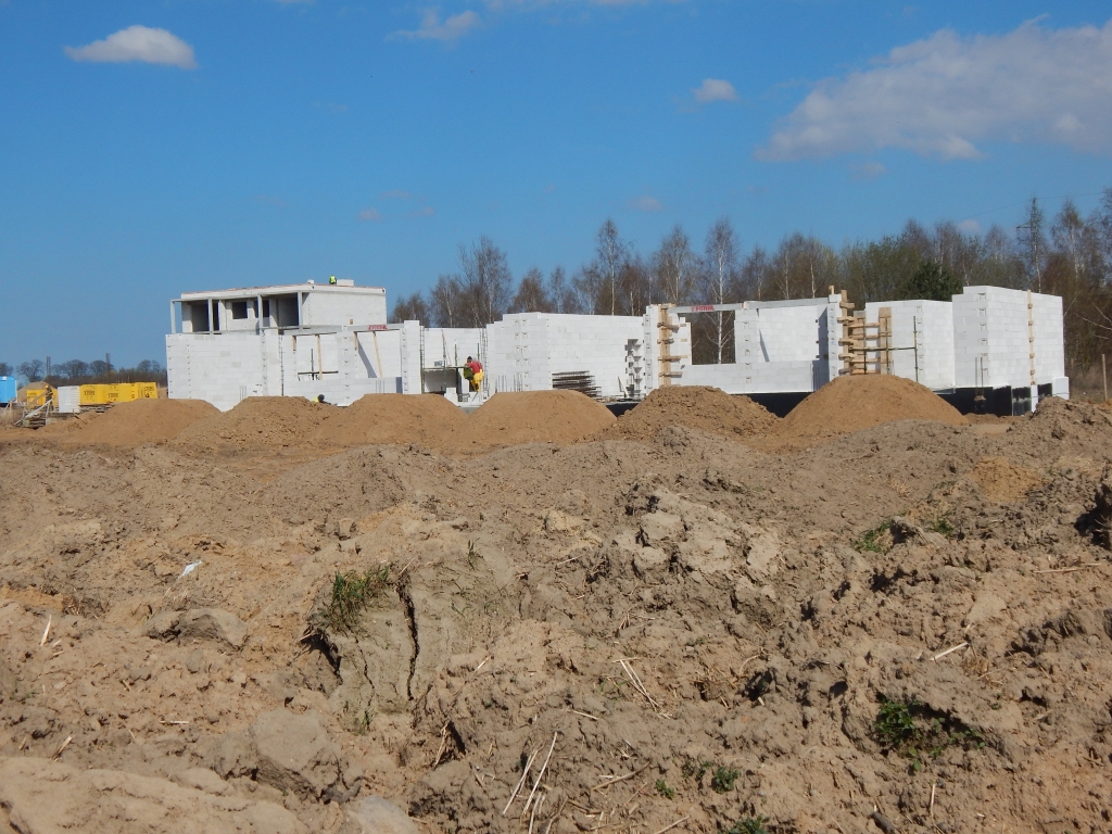
Comprehensive construction site surveying for a single-family houses district Osiedle Tęczowe in Bolesławice

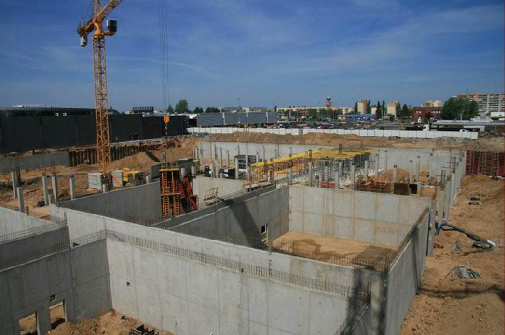
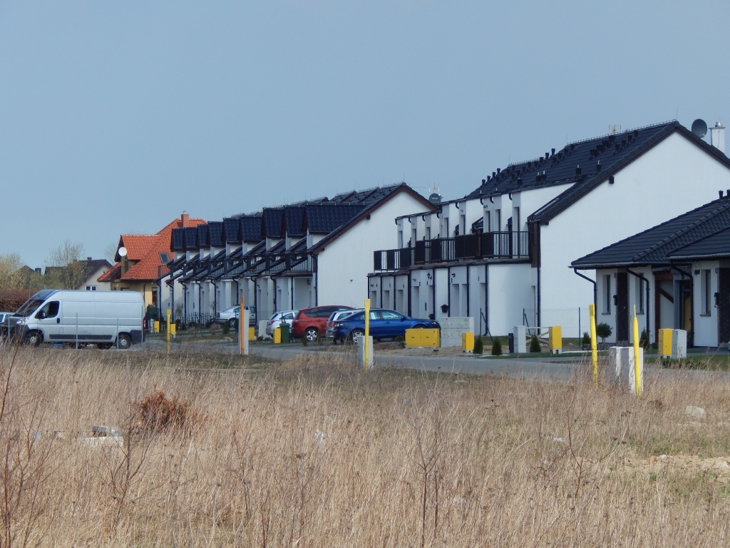
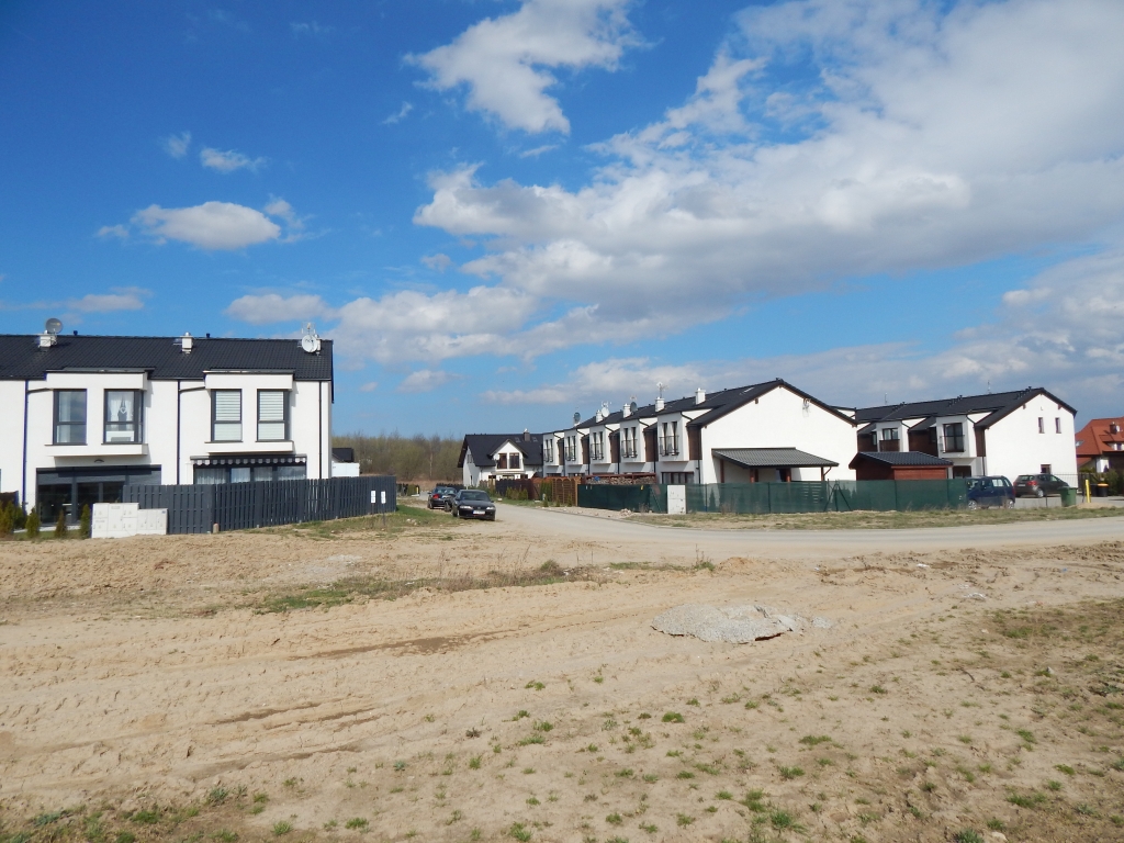
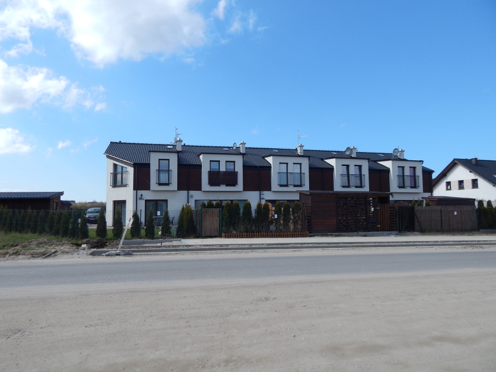
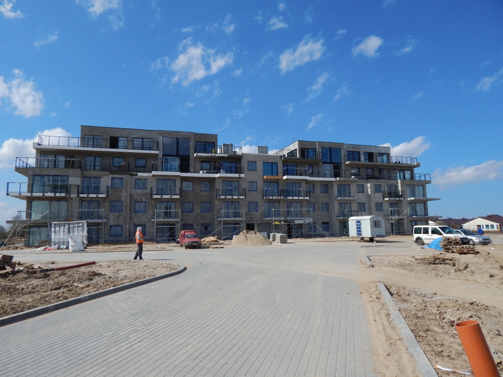
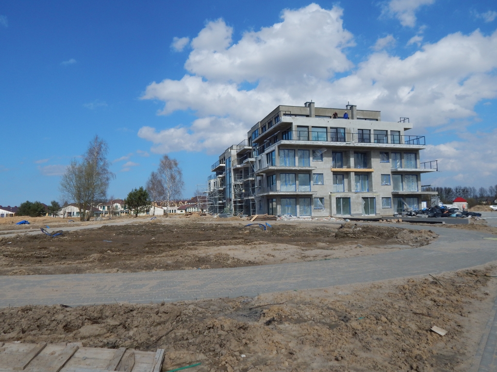
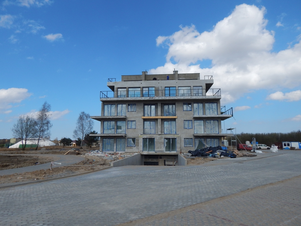
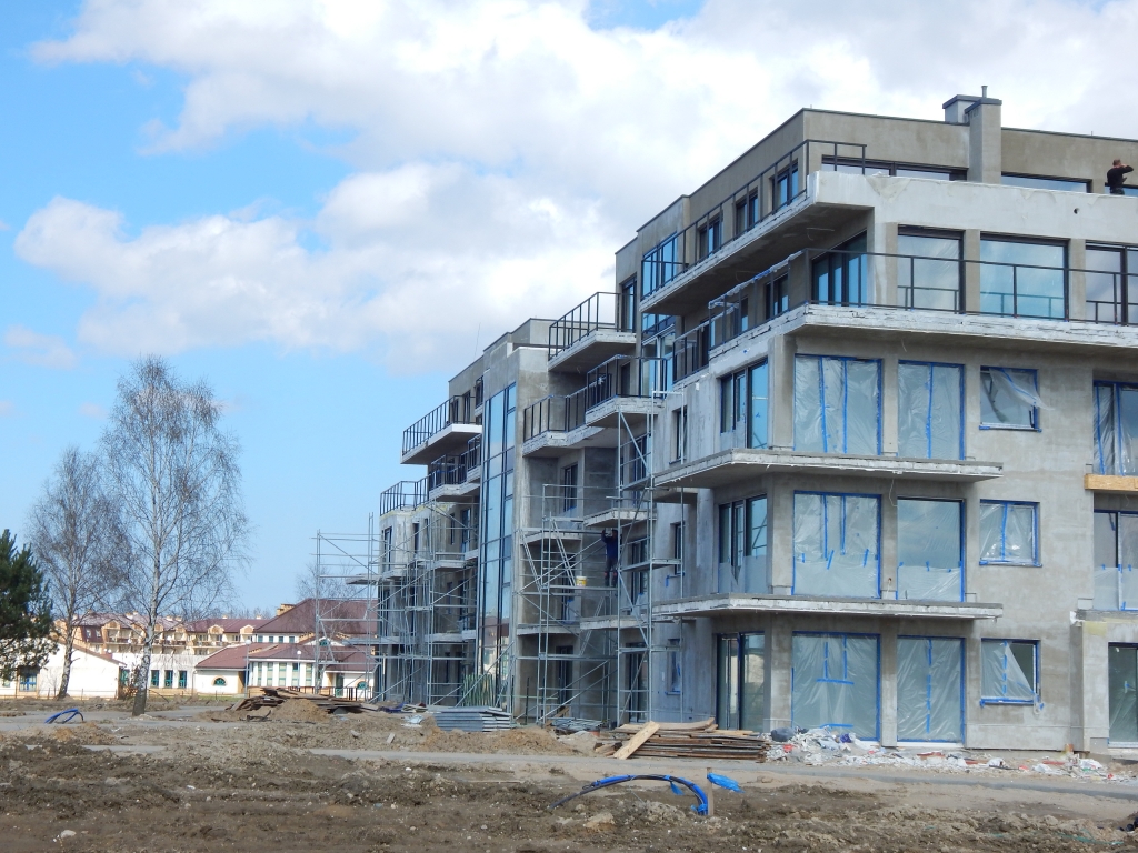
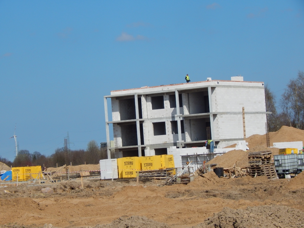
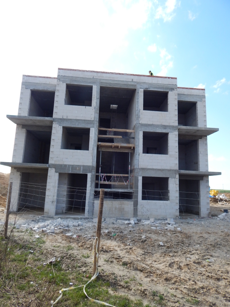
Comprehensive construction site surveying for a housing estate district City Park in Słupsk

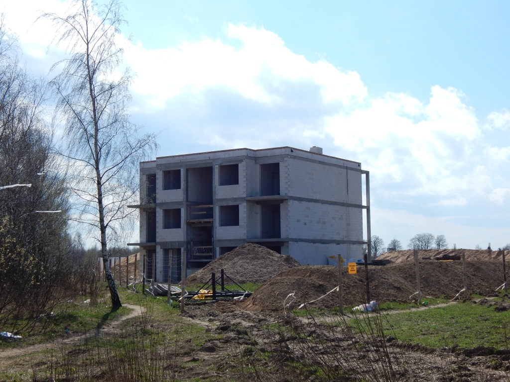
Comprehensive construction site surveying for a housing estate district Osiedle Zachodnie in Słupsk

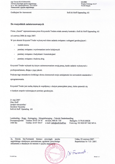
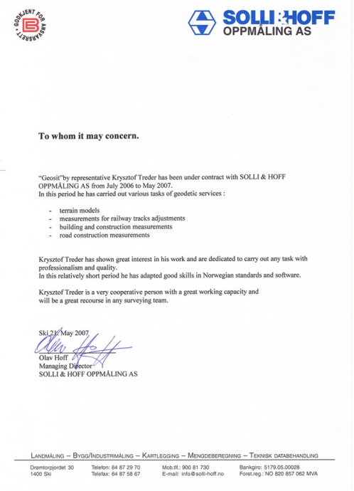
Construction site surveying for the structures belonging to a Norwegian multi-family industrial buildings LanghusSpedition Hall in Mikkeshogda, Rolvsrud Park

Comprehensive construction site surveying for building of a new health center in Słupsk on 6 Łokietka street

Comprehensive construction site surveying for new social buildings in Kwakowo

Digital compilations:

  •   Maps for architectural purposes, telecommunication and energy uses,
  •   Maps for planning purposes for structures located in the Słupsk commune: Swołowo, Wiklino, Bierkowo and Strzelino areas,
  •   Maps for architectural purposes, 3D maps for structures in the Norwegian Ski Station area, Alnabru Terminal,
  •   Maps for architectural purposes for construction of a ring for Lębork as part of the 214 road,
  •   Digital principal map together with a Geodetic Record of Utility Network Maps for structures located in Szczecin

Geodetic services for administrative purposes:

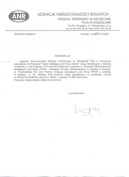
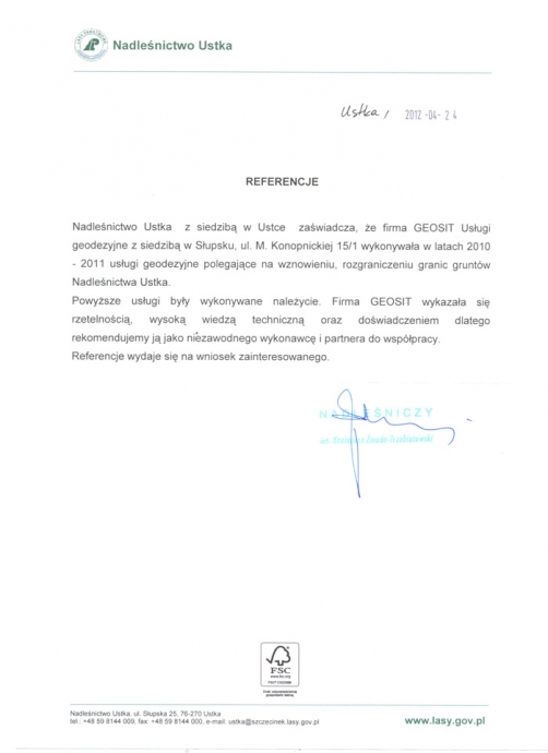
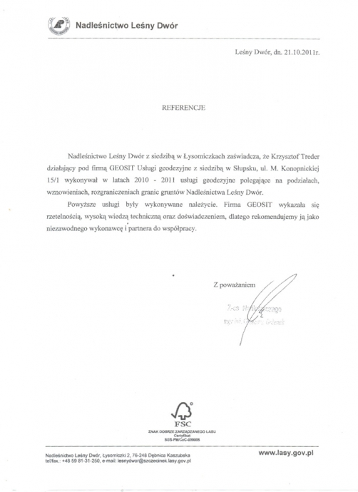
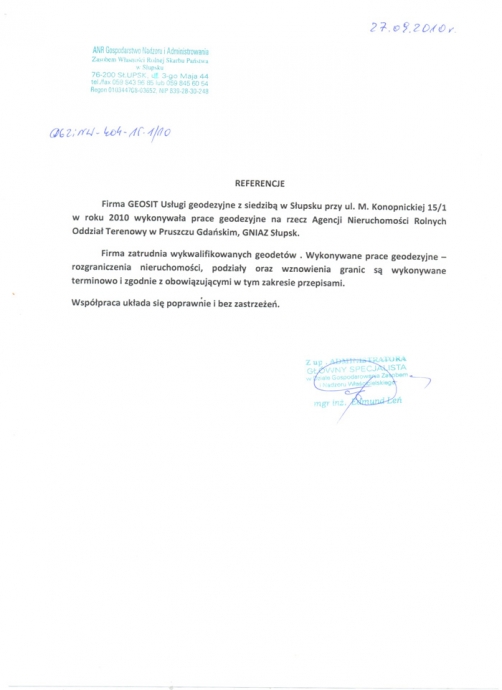
  •   Real estate subdivisions, resumptions and delimitations, legislation regulations, land classifications, maps for architectural and planning purposes for such institutions as: Municipal office in DębnicaKaszubska, Municipal office in Kobylnica, agricultural real estate agency Gdańsk and Szczecin branches, Energa Słupsk branch, Disposal Sales Depot, forest inspectorate LeśnyDwór and Ustka branches, Słupsk’s County Office and PSG

Surveying work with the use of confidential materials and offices:

  • Due to the specificity of said works we cannot articulate the range of localization of surveying work. Our work included digital compilations such as map and construction surveying in military areas.

Other compilations dependent on the need of the customer:

  •   Among others preparation of projects for a comprehensive modernization of land and building registration for Mirosławiec in Wałecki district,
  •   Geodetic measurements of buildings for building registration in the area of Sławieński and Legionowski districts.

References

Protection division

In the organizational structure of our company we possess a Confidential Information Protection Division, a Confidential Office and a computerized system for processing confidential information, which has been accredited by the Information Security branch of the State Security Service.

Our surveyors possess certificates with the NATO Confidential and NATO Secret clauses.

With connection to the creation of the Protection division and the acquiring of the necessary certificates by our employees we may provide geodesic services for which access to confidential information is required.

Such works include:

  •    Surveys with the creation of a digital map and creation of utility network map registry with the use of confidential offices
  •    Maps for architectural means for investments on military terrain with the use of confidential offices


3D scanning

D scanning finds uses in e.g.:

  •   Architectural inventory of buildings and structures
  •   Inventory of industrial buildings
  •   Inventory of the technical state of structures
  •   Displacement and subsidence measurements
  •   Monitoring - topographic surveys
  •   Measurements of engineering buildings
  •   Interior inventories (façade and floor plans measurements) and others
  •   Post-accident and post-collision measurements - 3D visualization of buildings.

We undertake projects of scanning any type of large-scale buildings and structures for conventional buildings through monuments, industrial buildings and technical installations to mining pits. We provide interested clients with so called point clouds, which are a direct product of 3D scanning.

Contact information

GEOSIT Usługi geodezyjne

ul. Marii Konopnickiej 15/1
76-200 Słupsk

tel. 59 841 21 22

fax. 59 841 21 22

info@geosit.slupsk.pl

taxpayer ID: 839-277-86-77
enterprise ID: 220241779


About us

In the year 2010 GEOSIT has successfully accomplished a project called RAISING THE COMPETITIVENESS OF THE GEOSIT COMPANY BY CREATING A NEW BRANCH AND INTRODUCING NEW SERVICES WITH THE USE OF A CONFIDENTIAL OFFICE partly financed by the European Union from the funds of The European Fund for Regional Development and the national budget.

Due to its realization we can now provide new services that satisfy our client’s expectations.

Surveys

with the creation of a digital map and creation of utility network map registry with the use of confidential offices

Maps

for architectural means for investments on military terrain with the use of confidential offices

Our company deals with widely understood geodesy and LIS for over 7 years.
We have acquired experience in this field through work under projects such as:

Construction site surveying

2D and 3D maps for architectural purposes

Modernizationsof land and buildings registrations

3D laser scanning

Net establishments with the use of GPS technology

Work with the use of confidential information